


This section includes information on, and photographs of, the bays, beaches, landmarks and land features that are within the parish of Tyneham.

7 SEPTEMBER 2022: THIS PAGE IS CURRENTLY BEING UPDATED – PLEASE CHECK BACK IN A DAY OR TWO
Brandy Bay
Brandy Bay, 2012
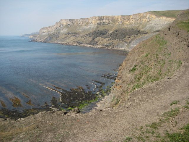
View of Brandy Bay and Gad Cliff from the South West Coast Path. Here it is pictured at low tide when the eroded strata of the seabed is revealed.
© Philip Halling and licensed for reuse under a Creative Commons Licence.
Broad Bench
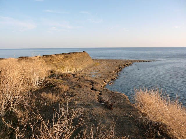
Broad Bench

© Jim Probert 2007
Licensed for reuse under a Creative Commons Licence
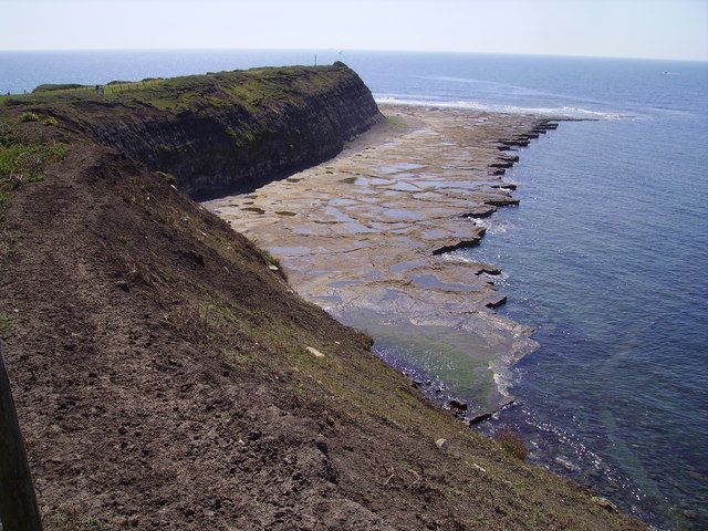
Broad Bench
Licensed for reuse under a Creative Commons Licence
Charnel

Cow Corner

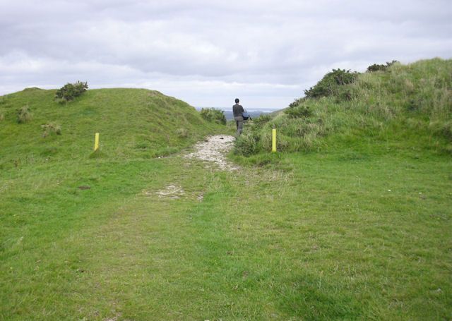
Flower’s Barrow
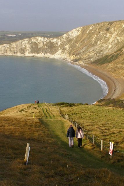
Flowers Barrow is an iron-age hillfort on the cliff edge above Worbarrow Bay. Sadly around half of the original hillfort has been lost due to continual erosion of the cliffs.
Flowers Barrow is only accessible when Tyneham and the Lulworth Range walks are open – see Opening Dates & Times. It can be reached either by a steep coastal path from Worbarrow or by a path from Whiteway Hill.

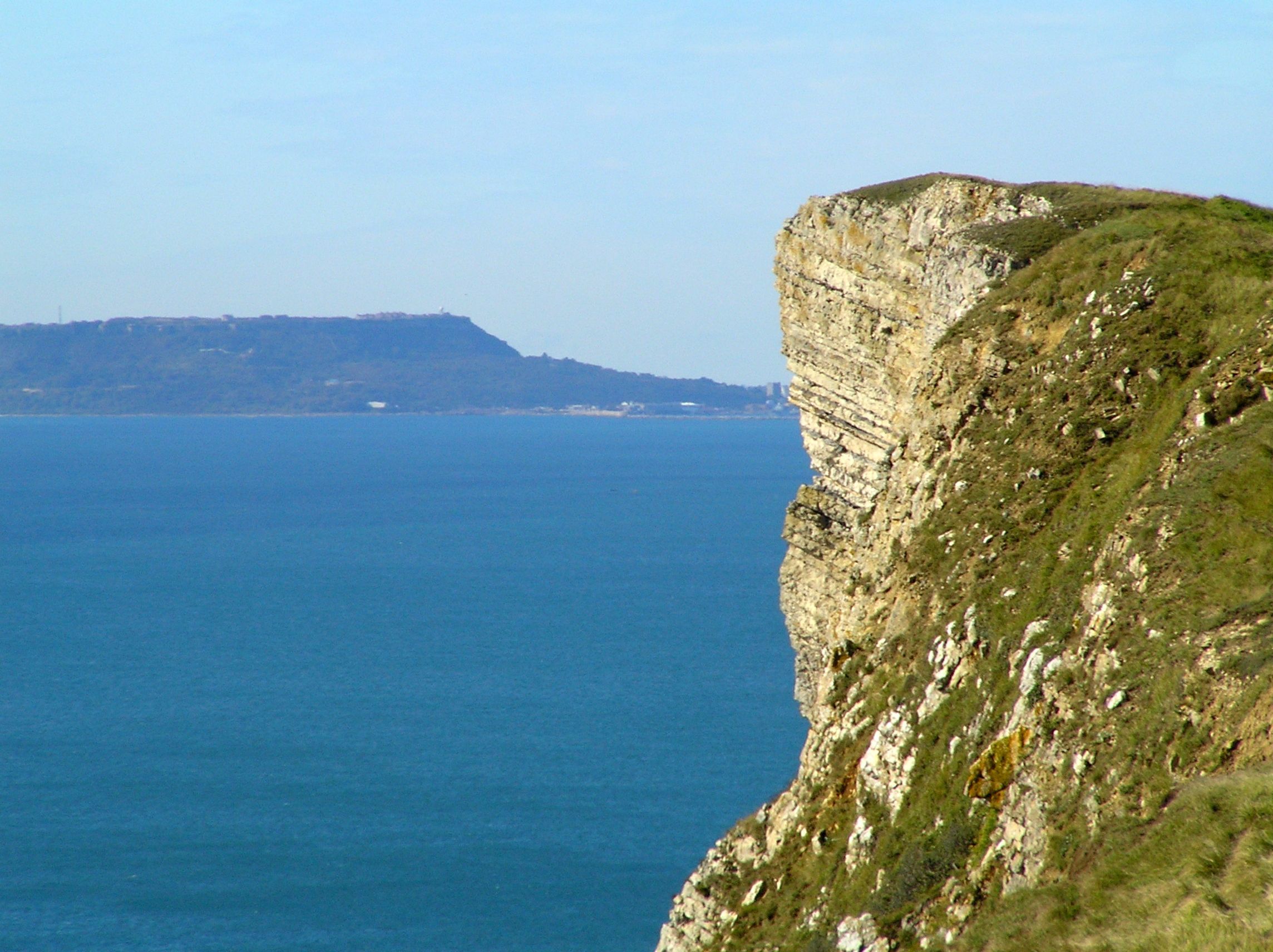
Gad Cliff

Gold Down
Hobarrow Bay
Pondfield Cove
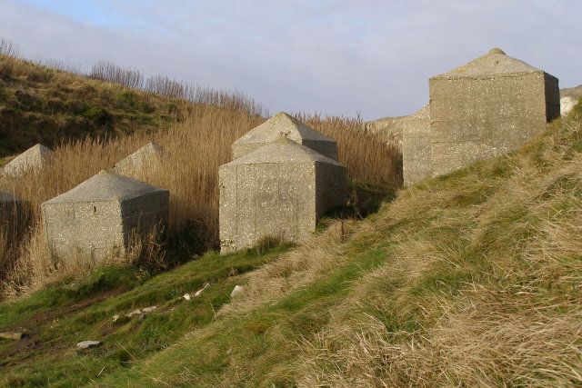


Povington Heath
Povington Heath
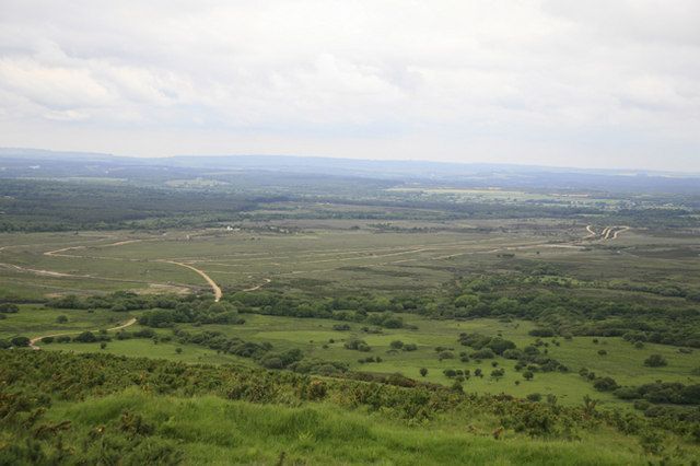
Licensed for reuse under a Creative Commons Licence
Tank Tracks across Povington Heath
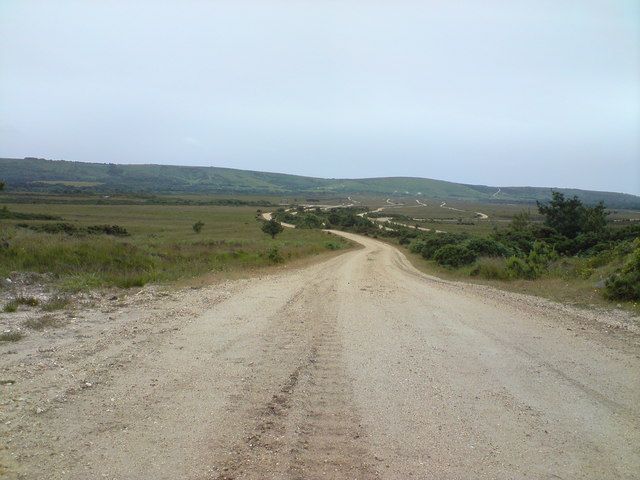
Licensed for reuse under a Creative Commons Licence
Tyneham Cap
Looking north to Tyneham Cap, 2008
View north towards Tyneham Cap from the cliff edge above Brandy Bay
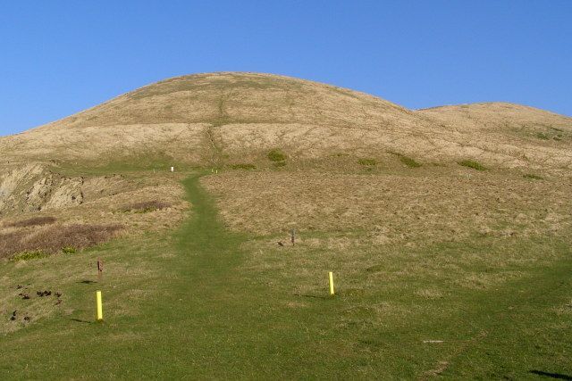
Licensed for reuse under a Creative Commons Licence
Looking south-east from Tyneham Cap
Looking east-southeast from the highest part of Tyneham Cap on the Purbeck limestone ridge, across Kimmeridge Bay towards St Aldhelms Head.

Licensed for reuse under a Creative Commons Licence
Whiteway Hill
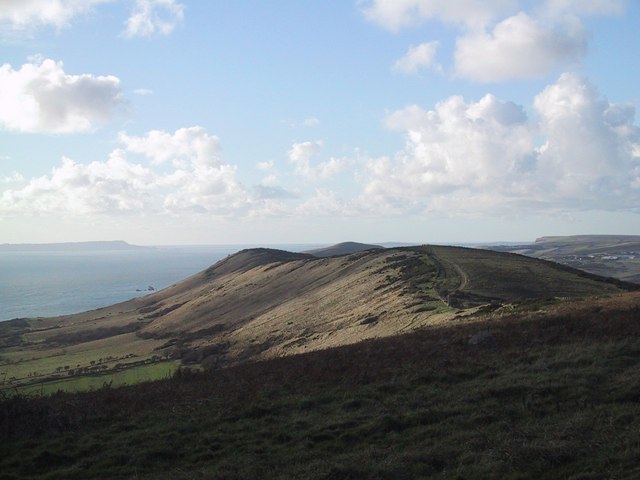
Looking along the ridge of Whiteway Hill
Flowers Barrow can be seen at the far end of the ridge and the Isle of Portland in the very far distance.
Licensed for reuse under a Creative Commons Licence
Worbarrow Bay
Worbarrow Tout
Page last updated: 7 September 2022